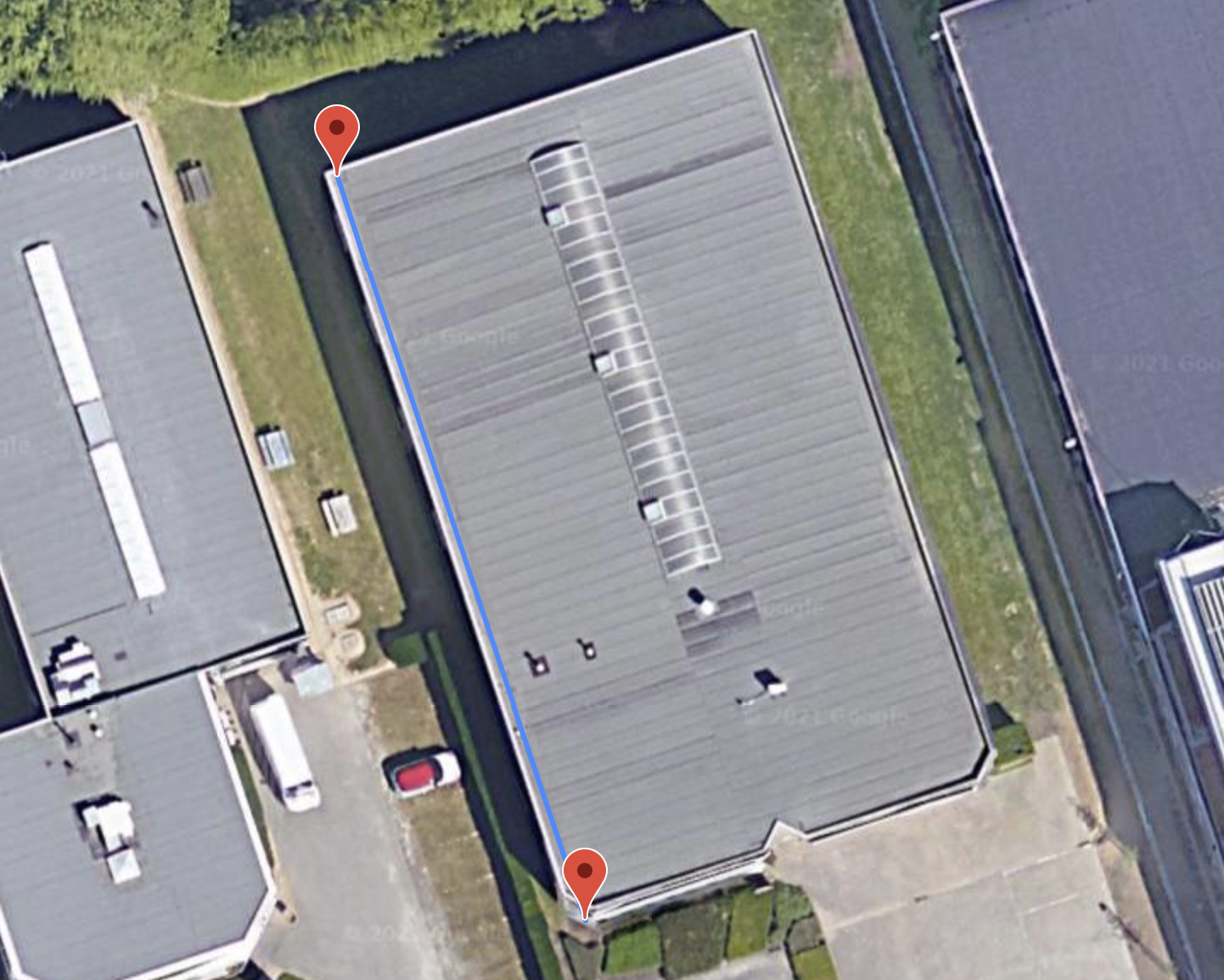
Drawing with
Google Maps API
Google Maps API has a tool for drawing and editing
points, polylines and polygons.
The best feature in this API is easy conversion from lat-long to meter.

Google Maps API has a tool for drawing and editing
points, polylines and polygons.
The best feature in this API is easy conversion from lat-long to meter.

Three.js is the mature WebGL lib.
With a proper programming, three.js can real-time render ( > 30 FPS)
thousands of solar panels.
Here, Google Maps is only the floor image.
Desktop application evolved a lot during past few decades.
Still, Web CAD app is preferred in specific areas
where customization is a large part of the solution like
Solar PV design tools.
General purpose CAD features in the Web app are evolving, too:
(Click image to enlarge)